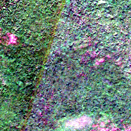
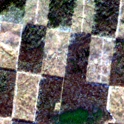
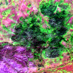
West Kalimantan
1,267 ha
0.6669° S, 110.0505° E
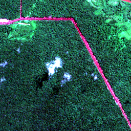
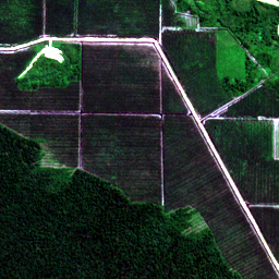
21 frames · 2.56 km squares
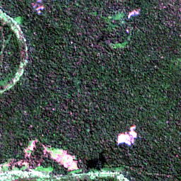
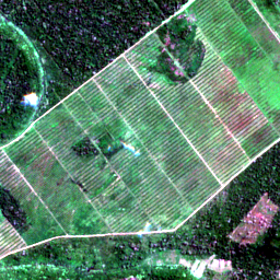
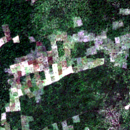
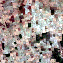
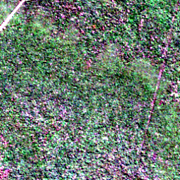
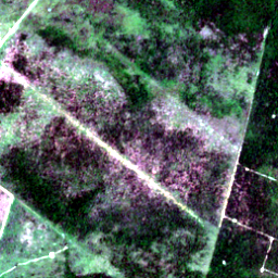
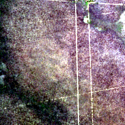
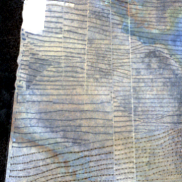
In under 8 hours, we autonomously scanned the entire Earth and used Perceptron to find 21 illegal plantations under EU law: forest in 2020, cleared after 31 December 2020.
About 44,000 acres. The loss area listed under each place, added up.
Only if every hectare were palm oil. About 59,000 tonnes at Indonesia’s 2024/25 yield of 3.3 tonnes a hectare, priced at the EU’s 2025 crude palm-oil import average of €1,104 a tonne.
That tonne count is about 4% of the 1.68 million tonnes of crude palm oil the EU imported in 2025, if this oil were turned away at the border.
1,267 ha
0.6669° S, 110.0505° E
1,842 ha
0.8756° N, 112.8191° E
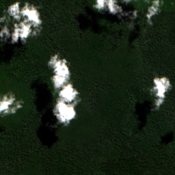
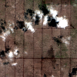
1,042 ha
2.2872° N, 117.8411° E
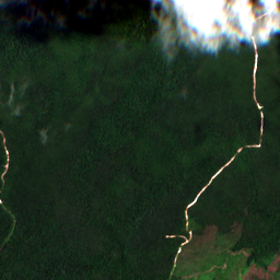
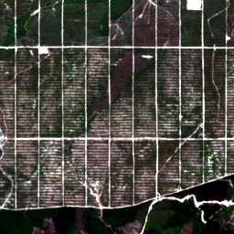
594 ha
3.9104° N, 114.2933° E
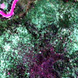
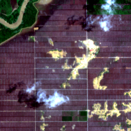
621 ha
8.0275° N, 17.2031° E
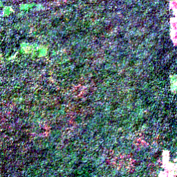
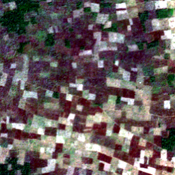
652 ha
8.0704° S, 74.8703° W
861 ha
8.1403° N, 17.3902° E
549 ha
8.2281° N, 17.9815° E
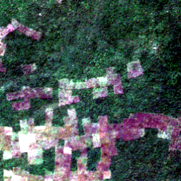
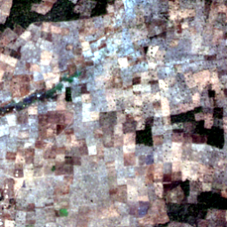
737 ha
8.3184° N, 18.2854° E
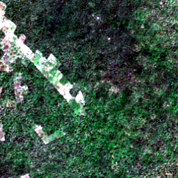
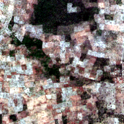
715 ha
8.4289° N, 18.3788° E
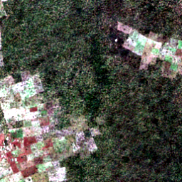
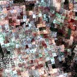
632 ha
8.7840° S, 44.0077° W
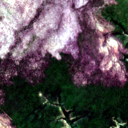
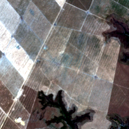
613 ha
9.3858° S, 48.4135° W
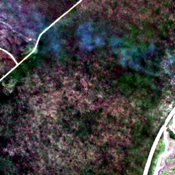
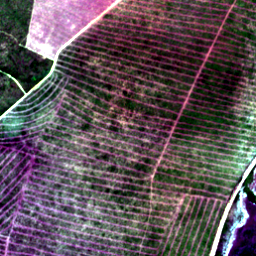
950 ha
10.1770° S, 64.7323° W
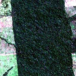
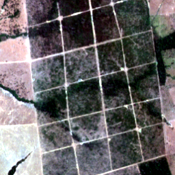
564 ha
10.3919° S, 53.7055° W
798 ha
10.6262° S, 42.3106° W
582 ha
10.8354° S, 57.5505° W
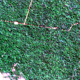
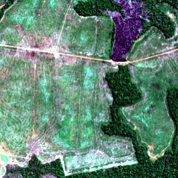
508 ha
11.4259° S, 44.7456° W
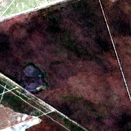
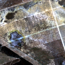
586 ha
12.0421° N, 106.6545° E
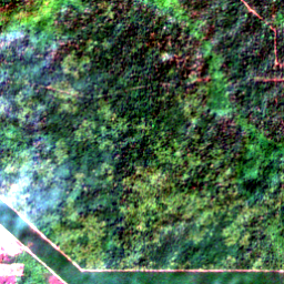
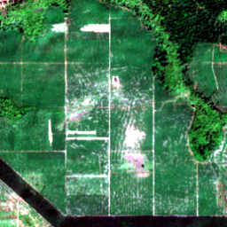
565 ha
19.7182° N, 90.1386° W
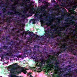
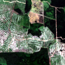
2,708 ha
61.7673° N, 108.2301° E
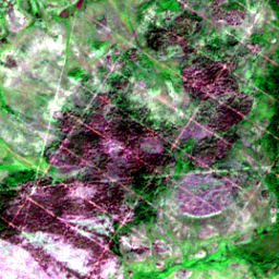
506 ha
57.8563° N, 86.4600° E